ADRIATISCHE RIVIERA
Map and plan collection
ADRIATIC RIVIERA
Kartogr. Anstalt Freytag & Berndt, Jadran; Beč, Dubrovnik
after 1918 - before 1941
map
paper; print
whole (closed): 22,7 x 11,4 cm
whole (opened): 22,7 x 102,6 cm
scale: 1:800 000
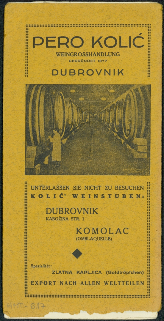
HMT-617

ADRIATIC RIVIERA
Kartogr. Anstalt Freytag & Berndt, Jadran; Beč, Dubrovnik
after 1918 - before 1941
map
paper; print
whole (closed): 22,7 x 11,4 cm
whole (opened): 22,7 x 102,6 cm
scale: 1:800 000
HMT-617